
Leverage the moment through the power of geospatial data.

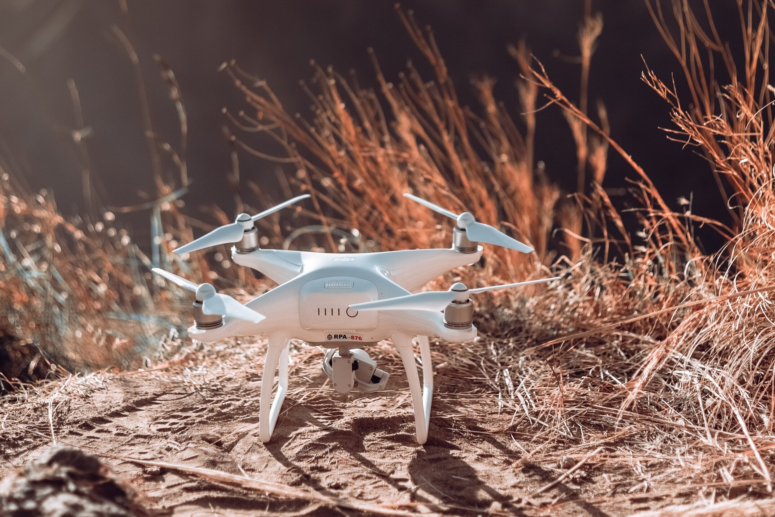
Kairos Geospatial LLC provides actionable geospatial data using drone technology. We are an independent geospatial services provider using small unmanned aircraft systems (sUAS, also referred to as drones).
We leverage our years of remote sensing experience, and we keep the pulse of the latest hardware, software, and techniques to provide actionable geospatial data.

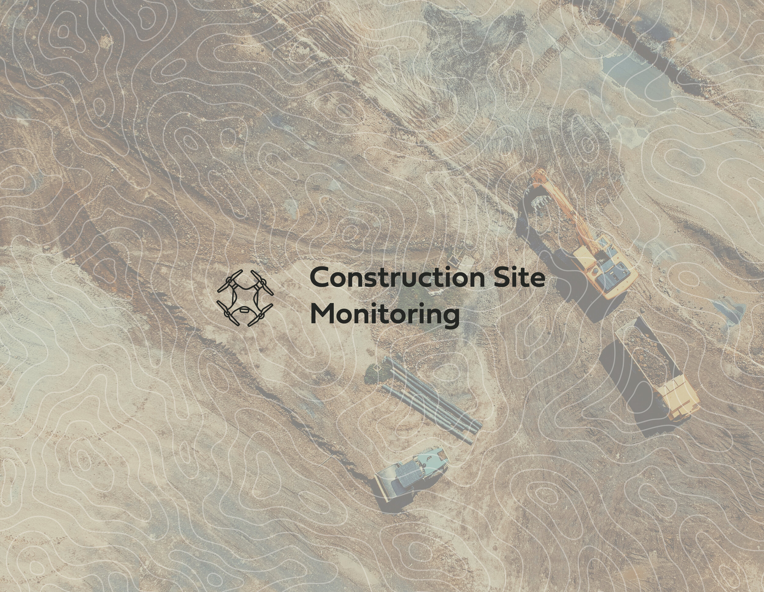


Our Services
Aerial Photography and Video
A simple aerial view can provide a surprising amount of information. We firmly believe the simplest solution is the best. Aerial photography and video often satisfy a project’s needs. Our thorough knowledge of scientific and artistic photography produces high-quality images and videos.

Digital Geospatial Products
There are a variety of digital geospatial products that provide specific types of information. After understanding a project’s particular needs, we guide you to the products that will offer the most value. If a project requires high spatial accuracy, we use the latest Global Navigation Satellite System (GNSS)* equipment to create geospatial products boasting horizontal and vertical accuracy of a few centimeters.

Consulting and Training
Are you looking to start or expand your internal sUAS operations? We leverage our years of experience in higher and professional education to offer custom consulting and training to fit your specific needs.


“I have had opportunities to work with Trevor on two different remote sensing projects, and I was impressed with his knowledge of data processing, flight systems, flight planning requirements -- and his willingness to help me understand how all those factors needed to be considered for a successful end product.”
-Ryan Armbrust, Forest Health Coordinator, Kansas Forest Service